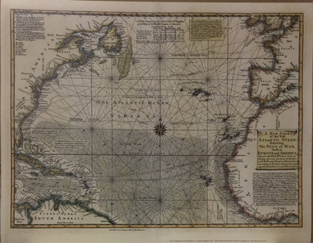
11″x14″ Reproduction of Emanuel Bowen’s 1740 copper engraved map of the Atlantic Ocean displayed on corrugated board and sealed in a protective sleeve.
A NEW CHART OF THE VAST ATLANTIC OCEAN – Exhibiting The Seat of War, both in Europe and America…
This is a copper-engraved map of the Atlantic Ocean created in 1740 by Emanuel Bowen. It was published in London by London Magazine.
Original size is 16.8 inches x 12 inches. Reprint size is 13 inches x 9 1/2 inches.
This map is a fascinating example of 18th-century mapmaking. Centered on the Atlantic Ocean, the map shows the eastern coast of North America from New France to the West Indies. Western Europe and West Africa are also depicted from Ireland to the Slave Coast. Early settlements in North America are identified as well as the usual shipping routes from the Old World to the New. The map will be particularly interesting to those interested in pre-Revolutionary America and the early migration routes from Europe.
The map is a hand-colored chart that details the trade winds and sailing courses across the Atlantic. It is ornamented with rhumb lines, a beautiful compass rose, and a decorative scroll-style title cartouche. The engraving is filled with numerous notes and comments. One table compares position data between this map and “Mr. Popple’s great Map of the British Empire in North America”. Jolly calls this a nicely executed map.
Transatlantic routes from England and Spain are indicated, such as “Upper course to Carolina & Virginia” and “Course of the galleons and flota”. There are extensive notes below the title cartouche concerning improvements to “the part relating to the British Dominions in America”. Also, there is a section of text at the top of the map pertaining to trade winds with an explanation of why the course to Virginia lies far to the south. “Published according to Act of Parliament” is printed below the image.
First issued in 1740, this map was re-issued in 1755 during the Seven Year’s War (named in America the French and Indian War) for readers following the events as the war progressed.
Related products
-
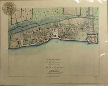
Town and Capital East Florida Color Map
$10.00 — SKU: 13702-L -
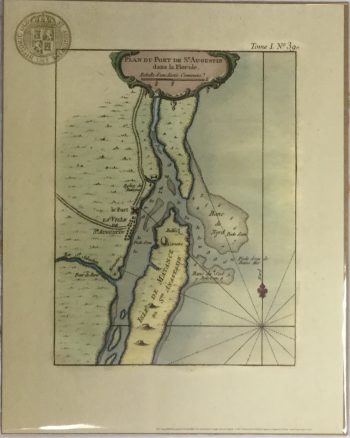
Plan Du Port Color Map
$10.00 — SKU: 13702-I -
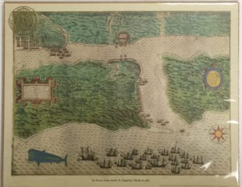
Drake’s Raid Color Map
$10.00 — SKU: 13702-E -
St. Augustine Oldest House – St. Francis Street
$10.00 — SKU: 13702-P
- Home
- Full Catalog
- Product Categories
- All
- Bags & Handbags
- Ball Caps
- Books & Guides
- Ceramics
- Civil War
- Food & Drink
- Globes
- Historical Documents
- Key Rings
- Kids
- Lapel Pins
- Magnets
- Maps & Prints 11″X14″
- Mugs
- Ornaments
- Patches
- Playing Cards
- Postcards & PC Booklets
- Posters
- Matted Prints
- Replicas
- School Supplies
- Shot Glasses
- Spoons
- Stickers
- Thimbles
- About Us
- Contact Us

